Keynote Speaker
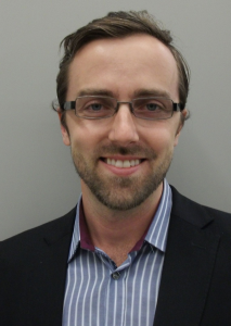
Kris Kolodziej
(Author & Entrepreneur)
Indoor Mapping & Location – The Past 10 Years & the Future
Indoor mapping and location positioning have been “in the lab” for over 10 years. Over the past few years, this technology has started to become available to the masses. This presentation showcases how we got here and outlines the challenges that we still need to overcome.
Kris has been in the mobile and location services field for over a decade, during which I was responsible for product development and business innovation for start-ups as well as large companies.Starting in Silicon Valley, he was the Co-Founder and CTO at Spime, which was acquired by Trimble. Moving back to New Jersey, he worked for Verizon Wireless HQ, in their product leadership team for Cloud and Location services. Then, he worked for aisle411, the leading in-store mapping and product search platform for retailers.
Kris holds graduate degrees from MIT. After watching the movie, Minority Report, he did his thesis on indoor location services (Indoor LBS), and published the book, “Local Positioning Systems: LBS Services and Applications” He also wrote six patents in Location & Geo technology.
Industry Talk
Alain Lapierre
(VP, Strategic Technology Projects, Bentley Systems, Inc.; www.bentley.com)
Location Services in the Design/Build/Operate life cycle of Infrastructures
Location services, especially indoor, represent a huge potential in numerous use cases during the life cycle (Design/Build/Operate) of the world’s infrastructures. However, this potential can only be fulfilled if some challenging requirements are satisfied by the location services …
Alain is primarily interested in Innovations for the world of Design/Build/Operate of sustainable Infrastructures. He currently leads the Strategic Technology Projects team, investigating ideas for improving the ROI of infrastructure assets. Alain is an innovation champion, leveraging ideas from Bentley users, industry leaders, domain experts and Bentley colleagues. To ensure no good idea is overlooked Alain established Innovation Days, enabling Bentley colleagues the opportunity to explore, prototype and share their ideas. To review many innovation projects, completed with Alain’s support and leadership see: www.bentley.com/Innovation.
His Master degree in photogrammetry (Laval University, 1996) was about creating a seamless view of the earth from an automated mosaicking process of images, something we now all take for granted with Google Maps. Over the 30 years of experience, Alain had projects in CAD, Geospatial, 3D, imagery, point clouds, DTM, Civil and more recently Cloud and Location services as well as Mobile Apps. Alain strongly believes in the use of standards and had represented Bentley at OGC for several years. Alain.Lapierre@bentley.com
Industry Talk
Optron/Trimble
Invited Speaker
Tristian E. Lacroix
(IndoorLBS)
Tristian Lacroix is the Managing Director at IndoorLBS, a consulting and research firm related to indoor location services. IndoorLBS.com was launched in 2003 to promote the convergence of location positioning technologies including GPS, WiFi, and Bluetooth. Tristian has 10 years of working with Fortune 100/500 companies. He started his career in Silicon Valley working with the now Juniper Networks.
Invited Speaker
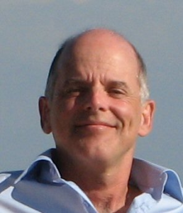
Bart De Lathouwer
(OGC)
OGC’s candidate standard IndoorGML complements CityGML for indoor modelling and navigation
Bart De Lathouwer is responsible for planning and managing interoperability initiatives such as testbeds, pilots and interoperability experiments with an emphasis on activities in Europe.
Since 2001, Mr. De Lathouwer has worked first as European liaison to the geospatial division of Autodesk and later as Autodesk’s Product Manager for Server Technologies. In this role, he also served as member company representative to the OGC. As a company representative, he started the OGC CAD-GIS Interoperability Working Group (which evolved into the OGC 3DIM Domain Working Group) and managed the development of a core data access technology FDO (Feature Data Object) that later went open source in OSGeo. After returning to Europe, he worked as a geospatial expert for both private and government organizations focused on interoperability.


